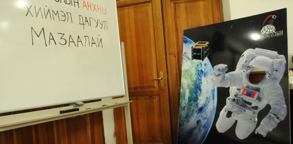
Mongolia’s first satellite “Mazaalai” was sent to its trajectory in the outer space to start operation today on July 7.
The satellite will be conducting four main experiments.
- Locate position using the reverse GPS method with the help of 7 international ground stations of the BIRDS project,
- Determine speed change of the satellite after locating its position,
- Determine air density,
- Research cosmic radiations in the low Earth orbit.
The miniature satellite will be delivering 100m resolution images of Mongolia and the earth in the altitude of around 400km, transmitting signals and National Anthems of Mongolia through 437MHz frequency modulation from space.
Japanese Aerospace Exploration Agency is administrating the operation, while the International Space Station’s astronaut is conducting the on-site procedure.
Previously, the Dean of the National University of Mongolia Ya.Tumurbaatar said, “If Mongolia receives a real-time high-resolution image from the space, natural disasters such as forest wildfire, snow, drought, storm, heavy rain, and flood could be prevented, avoiding major damage”.